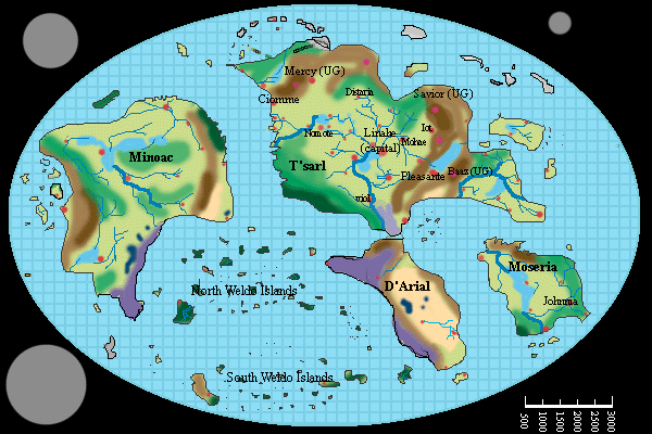
here is the key for understanding the map
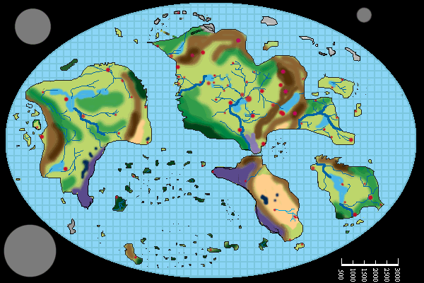
Here are the first series of maps. There are three maps on display right
now that are of the world of Ioz in general. I am going to post two
versions of the world map, one that displays some city and region names
the other will remain blank so you may look at each region a little better.
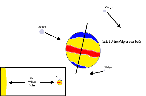
The Third map on display is of Ioz placement in space. Hopefully these will help
get the creative juices flowing. All maps were created by MagicWand aka JTmosey using
Photoshop 3.0.
here is the key for understanding the map